Smoothed satellite time series of MODIS Vegetation Indices (VI) Collection 6
Data available from 2000 - to present from MODIS Terra and Aqua
Two processing lines are available (all data can be downloaded free of charge):
1. On-demand smoothed and/or raw NDVI & EVI time series. The filtering is performed on-demand based on the time window requested by the user. The filtered products are produced in correspondance of each original MODIS product (MOD13). The data are available globally.
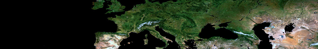
2. 7-Day smoothed real-time NDVI time series with regular weekly updates produced in gliding windows. The filtered products refer to Mondays and even include 1-week forecasts. Data are available only for Europe.
MODIS VI are resampled to a common grid with a pixel size of approximately 250-m pixel size (corresponding to 0.002232143 degrees) and delivered directly via ftp in TIF format.
Step 1. Submit your request;
Step 2. Download data from the Results submenu. A detailed processing report and a kml file (for Google Earth) are produced.
Examples of the 7-Day products are given for selected locations on the Real-time site monitoring page. Graphs are updated every Monday.
We also offer the data download of two existing land cover products: Globcover 2009 & GLC2000. Land cover maps are provided in the same projection (extent and pixel size) of the MODIS VI time series.